KURVIGER – A SOLUTION FOR NEVER ENDING NAVIGATION ISSUES?
Preparing road trips is what we like to do. Duh! Finding the best and most curvy driving roads and the best stop-overs is our challenge for every single day and multi day trip. Every time a road trip starts it is exciting, and sometimes nerve-wrecking, to see if the planned tour is all that we’d expected it to be. So far, so good we think.

Still, up to now every tour has its glitches when it comes to the sat nav files. Or rather, to the systems that use the files. TomTom, Garmin and Google Maps being the most popular brands can’t seem to make it work that on different devices or apps everybody sees the same route on his/her screen. GPX-track files should cause the least problems but not all systems are able to use these files properly. Even two different types of devices from the same manufacturer can create different routes with the same waypoints. It’s a first world problem, we know, but still annoying.
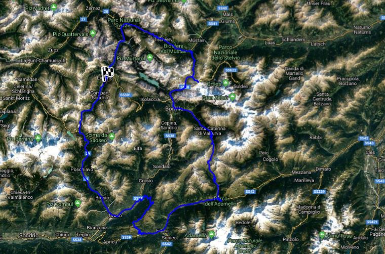
When we were discussing this with Daniele Trosa, one of the organisers of the epic Stelvio 20 Years Revival, he stumbled upon Kurviger. A German platform that describes itself like this: Kurviger is a route planner specialized on motorcyclists that prefers curvy roads and slopes, but avoids cities and highways. Find routes that are enjoyable to ride with a motorcycle. That sounded the business. Kurviger is a community of open-data, open-source, and motorcycle enthusiasts.

Because motorcyclists generally are way better in finding curvy driving roads than us sports cars drivers, it’s easy to understand that they are at the base of this platform. After browsing the website and reading reviews about it, our first impression is very positive. It’s free of charge (although donations for a beer or two are appreciated), easy to create routes, easy to share them with your friends or to export them to all different kind of file formats.
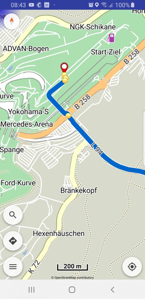
We are especially happy with the fact Kurviger has developed an Android-based navigation app as well. For iOS (Apple) devices they teamed up with the Scenic App. You can use their app to access the Kurviger routing from iOS and to navigate along the calculated route.
As one of the app-users wrote ‘To my fellows I explain it as “WYSIWYG” (what you see is what you get), same maps and same algorithm in browser and smartphone!’ This app will cost you € 9,99 and the good thing about it is that when all participants of our road trips are willing to invest this small amount of money, they will all see the same routes on their screens and obtain the same driving instructions for sure. A first world problem solved for a few quid, how’s that then? Bends and Curves will use this app in 2020 and advices participants of our road trips to use it as well.
